OSNAP: The Ocean Sensor String From Canada To Scotland
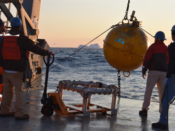
A subsurface array of sensors known as the Overturning in the Subpolar North Atlantic Program (OSNAP), extends from Canada’s Labrador Coast to the tip of Greenland, crosses south of Iceland and finally ends near the Outer Hebrides of Scotland. It measures the currents that move from the ocean depths to the warmer surface areas, a process that exchanges somewhere near 15.3 million cubic meters of water every second. As much as I want this sensor array to be a solid string of instruments, it’s actually 53 different moorings of independent sensor clusters measuring temperature, salinity and water speed. You can see in the diagram below that the sensors are arranged in 3 distinct clusters – one across the Labrador Sea, another spanning the Irminger Sea and a final cluster from the Iceland Basin to Scotland’s Rockall Trough. Featured Image: Recovering the flotation sphere for mooring CF4 with an iceberg in the background. Pictured from left to right: Andrew Davies, Pete Liarikos, John Kemp and Brian Hogue. Photo by Isabela Alexander-Astiz Le Bras
